21 September 2026 · 12 min read
Why GPS Verification Is Especially Important for Consultation Campaigns
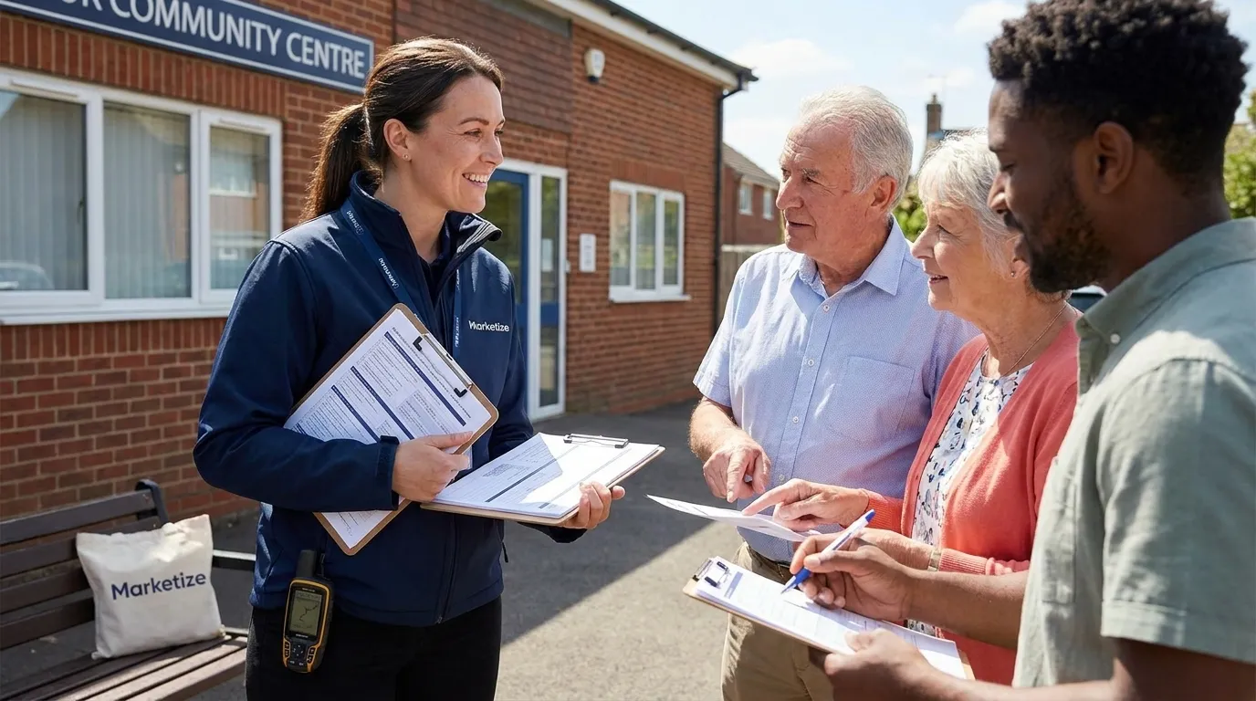
GPS verification matters for every leaflet campaign. When a business commissions distribution, they want to know the work actually happened - that a distributor walked the agreed streets rather than simply collecting leaflets and claiming delivery. For commercial campaigns, GPS proof of delivery is the accountability mechanism that makes the channel trustworthy.
But for consultation campaigns - planning application notifications, civic communications, public notices, housing association engagement - GPS verification is doing something more significant than accountability. It's producing the evidence that may need to withstand formal scrutiny. Not just the scrutiny of a client reviewing a completion report, but the scrutiny of a planning inspector, an objector's solicitor, or a local authority examining whether a consultation process was adequately conducted.
That's a different standard. And understanding why GPS verification for consultation campaigns is especially important - what it needs to show, what it needs to be able to answer, and what happens when the GPS record has gaps or inconsistencies - is the starting point for commissioning or running consultation distribution that will actually hold up.
The Difference Between Accountability and Evidence
For a commercial campaign, the GPS record answers one question: did the distribution happen? If the trail shows a distributor walked the agreed streets at a pace consistent with delivery, the accountability question is answered. The client can be satisfied the work was done.
For a consultation campaign, the GPS record needs to answer a broader set of questions, some of which might be asked months after the distribution took place, by people with adversarial interests in finding weaknesses in the process.
Did the distributor cover every street within the notification zone? Which specific streets? At what time on which dates? Was the pace consistent with active delivery rather than simply walking through an area? Are there gaps in the trail, and if so, what explains them? Were any sections of the notification zone apparently missed?
These questions arise because consultation processes are contested. Planning applications generate objections. Public engagement processes get challenged. When a challenge is mounted, one of the angles a legal representative or objector may examine is whether the notification was genuinely comprehensive. A GPS record that can answer all of those questions from primary data - not from a completion report assembled by the distribution company, but from the underlying timestamped location data - is fundamentally more defensible than one that can't.
This is why the legal and procedural requirements for planning application leaflet drops place such emphasis on documentation: the standard isn't what satisfies a client, it's what satisfies an examiner.
What GPS Data Needs to Show for Consultation Purposes
The GPS record for a consultation campaign serves a different function from the kind of coverage confirmation that suffices for commercial distribution. It needs to be capable of demonstrating, from the data, that specific streets were walked, at times consistent with active delivery, within a defined notification zone - and that any areas not covered are represented by specific non-delivery records rather than unexplained gaps.
Street-level resolution is the minimum. A GPS trail that confirms a distributor was in the right general area is insufficient. The trail needs to resolve to individual streets within the notification zone so that any gap in coverage is visible and identifiable. If Green Lane is missing from the GPS trail and appears in the notification zone, the record should make that immediately obvious - not hide it within a coverage summary that shows the overall zone as broadly completed.
Timing data needs to be granular. The timestamps across the GPS trail should be fine enough to identify when the distributor entered each section of the route and when they left it. This serves two purposes: it confirms the pace of movement was consistent with letterbox delivery (rather than driving through an area or walking it without stopping), and it creates a timeline of the delivery that can be cross-referenced with non-delivery records to confirm those entries were made at the right times and places.
The record needs to be complete for the full delivery period. If a consultation distribution happened across two days, the GPS record needs to cover both days without gaps that can't be explained. If the distribution included multiple sections assigned to different distributors, the combined GPS data needs to show coverage of the full notification zone as a unified record. The guidance on ensuring full coverage for civic communications covers how to co-ordinate multi-distributor campaigns so the combined record is complete.
Why Offline GPS Storage Matters Specifically for Consultation Work
One of the vulnerabilities in basic GPS tracking is signal gaps. In areas with poor mobile signal - rural sections of a notification zone, basements and lower floors of high-rise buildings, underground sections of a route - basic tracking that requires active connectivity to record data creates blank spots in the coverage record.
For a commercial campaign, a blank spot caused by poor signal is an inconvenience that can usually be explained. For a consultation campaign, a blank spot at a specific street within the notification zone creates an evidential gap that an objector or their representative might use. 'Your GPS record shows no coverage of Elm Street between 14:00 and 14:45 on [date] - how do you know that street was covered?' is a question that a gap in the record can't answer well.
GPS tracking with offline data storage eliminates this vulnerability. The device continues recording location data locally when signal is absent, and syncs that data when connectivity is restored. The result is a GPS record that is complete across the full delivery period regardless of signal variation. No blank spots caused by connectivity gaps. No sections of the notification zone that are absent from the record for reasons that have nothing to do with whether the distributor was actually there.
For consultation distributions in mixed urban and rural notification zones, in areas with patchy mobile coverage, or in buildings with variable signal, offline storage isn't a nice-to-have. It's the difference between a coverage record that's evidentially complete and one that has holes in it that require explanation. This is one of the core reasons Marketize's GPS proof of delivery system uses offline storage by default.
The Relationship Between GPS Data and the Non-Delivery Log
GPS coverage and non-delivery records need to be consistent with each other to be credible together. This is a dimension of GPS verification that matters more in consultation contexts than commercial ones.
In a well-run consultation distribution, every property in the notification zone should appear in one of two places: the delivery record (covered by the GPS trail, within the area walked) or the non-delivery log (specifically recorded as not reached, with a reason, at the time of the attempt). There should be no properties that are simply absent from both.
When the GPS trail shows a distributor walking a particular street, but the non-delivery log contains no entries for that street's undeliverable properties, there are two possible explanations: either all properties on that street were successfully delivered to (plausible in an accessible residential area), or the distributor walked the street without actively recording non-deliveries (which leaves the record incomplete).
When the GPS trail shows a distributor was on a street, and the non-delivery log contains entries for specific properties on that street with timestamps that match the GPS timing, the two records corroborate each other. That corroboration is what makes the combined record defensible - both sources point to the same reality independently.
If there are non-delivery entries in the log for a street that doesn't appear in the GPS trail, that's a consistency problem. Either the GPS record has a gap for that section, or the non-delivery entries were made retrospectively without the distributor being at those properties. The guidance on documenting non-deliveries for consultation campaigns explains the recording standards that prevent this inconsistency from arising.
Building this corroboration into the process - using a single integrated platform where GPS tracking and non-delivery recording are linked, where the non-delivery timestamp and the GPS position at that time can be cross-referenced - produces a record that is internally consistent by design rather than by checking afterward. Leaflet distribution verification platforms designed for consultation work have this integration built in.
GPS Verification and the Geotagged Photograph
GPS data shows where a distributor went. Geotagged photographs show what they encountered when they got there. Together, they produce a record of coverage that is significantly more defensible than either element alone.
For consultation campaigns, the most important photographs are those of access barriers at non-deliverable properties. A photograph taken at a gated entrance, showing no accessible letterbox or post facility, with embedded location data placing it at the address in question and a timestamp matching the GPS trail at that moment - this is a self-corroborating piece of evidence. The photograph, the location data, the GPS trail, and the non-delivery log entry all point to the same event: a distributor at that address at that time, unable to complete delivery because of a specific physical barrier.
This combination is difficult to challenge. An objector arguing that a property within the notification zone wasn't reached has, against this record, a GPS trail showing the distributor at the address, a non-delivery log entry made at the time, a photograph of the access barrier, and a timestamp linking all three. The counter-argument - that the property was simply missed - requires overcoming all of these consistent, independently generated data points simultaneously.
For commercial campaigns, this level of corroboration isn't always necessary. For consultation campaigns, it's the kind of record that prevents challenges from gaining traction. The full breakdown of photo proof requirements for consultation work covers frequency standards and what each photo needs to show.
When GPS Records Are Used in Formal Contexts
It's worth being specific about when GPS records from consultation distributions actually get examined by someone other than the client and the distribution company.
Planning Application Submissions
A Statement of Community Involvement accompanying a planning application may include, or reference, the completion record from a consultation leaflet drop. A planning officer reviewing the application, or an inspector considering it on appeal, may examine that record as part of their assessment of whether community engagement was adequately conducted. The legal requirements for planning application notification set out what the record must demonstrate.
Planning Appeal Hearings
If a planning application is refused and goes to appeal, the adequacy of pre-application consultation may be examined in the hearing. Objectors may argue that notification was inadequate. The GPS record - or its absence - is the documentary evidence that determines whether the counter-argument holds.
Local Authority Review Processes
For civic communications from local authorities themselves, an elected member, scrutiny committee, or legal challenge may require evidence that a consultation or notification process reached the intended population. The distribution record is the documentation that supports that claim. The civic distribution pillar covers the full range of scenarios in which local authorities use leaflet distribution for formal communications.
Housing Association Governance and Regulatory Compliance
Housing associations operating under regulatory frameworks have obligations to demonstrate resident engagement. Where leaflet distribution is part of that engagement process, the completion record may be reviewed in the context of regulatory compliance assessment.
In all of these contexts, the GPS record isn't being reviewed by the client who commissioned the campaign. It's being reviewed by someone with a specific interest in assessing whether the process was adequate - and potentially by someone looking for reasons to argue it wasn't.
A GPS record that shows complete, street-level coverage of the notification zone, with consistent timing data, corroborated by a non-delivery log with specific address-level entries and geotagged photographs of access barriers, answers those questions from primary data. A GPS record that shows approximate area coverage with gaps, supported by a separately compiled completion report, answers them much less convincingly.
Choosing a Distribution Platform for Consultation Work
Not every GPS tracking system produces records that are adequate for consultation purposes. The requirements - street-level resolution, offline storage, timestamped non-delivery integration, geotagged photographs linked to coverage data - aren't standard across all platforms.
When selecting a distribution platform or company for consultation work, the relevant questions are specific: does the GPS data resolve to street level, not just area coverage? Does the system use offline storage to prevent signal-related gaps? Are non-delivery entries timestamped and geolocated at the point of recording rather than compiled afterward? Are photographs geotagged and linked to the coverage map rather than stored as a separate folder of images? Can the completion record be produced in a format suitable for formal submission?
These are operational capabilities, not marketing claims. A platform that has them built in produces consultation-grade records by default. One that doesn't requires workarounds that introduce exactly the inconsistencies and gaps that make consultation records vulnerable. See the comparison of consultation distribution vs standard door drop for the full picture of how the two differ operationally.
For consultation campaigns where the process record may be formally examined, the GPS verification infrastructure is the foundation everything else rests on. Getting it right is not a premium option - it's the baseline requirement for a consultation distribution that does what it's supposed to do.
Use Marketize to find verified distributors with consultation distribution experience, or explore full-service consultation distribution options for campaigns where the complete documentation package is managed end to end. The consultation and civic distribution guide covers platform requirements in detail alongside guidance on documentation standards for planning and civic applications.