Reach Every Door in Northamptonshire
Targeted leaflet distribution across every postcode sector in Northamptonshire — backed by real household data and transparent, campaign-specific pricing.
Real Household Data
Census-backed statistics on household composition, employment, and education — so you can target with precision.
Full County Coverage
Every postcode sector across Northamptonshire is available. Target a single district or blanket the entire county.
Bespoke Pricing
Quick quotes built around your specific requirements by our UK-wide network of distributors - no hidden fees, no surprises.
The Smarter Way to Get Noticed
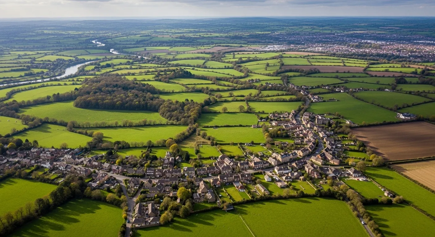
65% of Northamptonshire's 369,885 households are single family homes - a strongly residential county across 19 districts and 94 postcode sectors, running from Northampton's urban spread through to the quieter market towns of Kettering, Wellingborough, and Daventry. It's a county that's grown fast and continues to attract families, which shapes what works in direct marketing. Leaflet distribution Northamptonshire campaigns that plan by postcode consistently outperform those that treat the county as a single audience. Marketize makes that precision accessible - census-based targeting combined with GPS tracked leaflet distribution that verifies every route, not just every booking.
For businesses, door to door leaflet distribution Northamptonshire through Marketize means accountable, evidenced delivery. That applies equally to established neighbourhoods and the newer residential developments that have expanded the county's footprint considerably in recent years.For individuals, the county's steady growth generates reliable distributor demand with real flexibility. Targeted leaflet distribution here works particularly well for businesses following housing expansion into new catchment areas.
A 94.24% employment rate signals strong household spending power throughout the county, making flyer delivery Northamptonshire well-suited to trades, home services, food, and family-oriented businesses. 81% of Northamptonshire residents hold some formal education, so benefit-specific messaging can work well here. But don't let that become an excuse for lengthy copy. A clear, compelling offer should still lead - the detail can follow once you've got their attention.
Household Composition
Census-derived household data for Northamptonshire. We have embedded this into our mapping software to allow you to understand your audience and make informed decision before planning distribution.
Single occupant dwellings — including young professionals, retirees, and solo renters.
Couples with or without children — the backbone of residential communities.
Shared houses, multi-generational homes, and other non-traditional living arrangements.
Employment & Education
Demographic insight on the working population and education levels across Northamptonshire.
Part-time or full-time, employee or self-employed — a high-value audience with regular disposable income.
Working-age residents currently without paid work, available and actively seeking employment.
Residents who have obtained any level of formal education — from school qualifications to higher education.
Residents with no formal qualifications — useful for tailoring message complexity and channel selection.
Leaflet Distribution Pricing in Northamptonshire
Pricing is tailored to your campaign — not a flat rate. Here's what shapes your quote.
Tailored to Your Campaign, Not a One-Size Price
Leaflet distribution pricing is flexible by design. Rather than a single fixed rate, costs are calculated based on a combination of factors unique to your campaign — so you only ever pay for exactly what your distribution requires.
Use our online platform to build your campaign, select your target postcode sectors within Northamptonshire, and receive an instant, transparent quote with no hidden charges.
Get a quote on our platform →Target Area & Reach
Costs vary based on how many households you reach and across which postcode sectors. A wider spread may affect per-unit rates.
Leaflet Size & Weight
The format, size, and weight of your printed material directly influences costs. Heavier or larger items carry a higher per-delivery rate.
Volume & Quantity
Larger print runs typically unlock lower per-unit costs. Bulk campaigns covering entire districts offer the best value.
Timing & Scheduling
Delivery windows and campaign urgency can influence the final price. Flexible scheduling helps keep costs down.
Districts, Sectors & Coverage
A full breakdown of every postcode district and sector within Northamptonshire, with the towns and localities each one covers.
Book Your Campaign in Northamptonshire
Select your postcode sectors, upload your leaflet, get an instant quote, and schedule your drop — all in minutes on our platform.
Related Counties We Cover
Browse a list of neighbouring counties in the region. Every area below is available for leaflet distribution.
- Alfreton
- Ashbourne
- Bakewell
- Belper
- Chesterfield
- Derby
- Ashby-de-la-Zouch
- Coalville
- Grove Park
- Hinckley
- Leicester
- Loughborough
- Barnetby
- Barrow-Upon-Humber
- Barton-Upon-Humber
- Boston
- Bourne
- Brigg
- Mansfield
- Newark
- Nottingham
- Padge Road
- Retford
- Southwell
- Oakham