Reach Every Door in Derbyshire
Targeted leaflet distribution across every postcode sector in Derbyshire — backed by real household data and transparent, campaign-specific pricing.
Real Household Data
Census-backed statistics on household composition, employment, and education — so you can target with precision.
Full County Coverage
Every postcode sector across Derbyshire is available. Target a single district or blanket the entire county.
Bespoke Pricing
Quick quotes built around your specific requirements by our UK-wide network of distributors - no hidden fees, no surprises.
The Smarter Way to Get Noticed
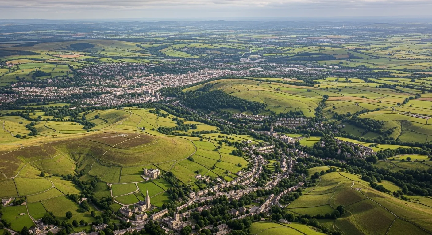
64% of Derbyshire's 459,680 households are single family homes, spread across 29 districts and 125 postcode sectors that take in everything from Derby's urban neighbourhoods to Peak District market towns and former mining communities with very different consumer profiles. That range is exactly why blanket coverage rarely delivers here. Leaflet distribution Derbyshire campaigns that plan at postcode level consistently outperform those that don't, and Marketize's census-based targeting combined with GPS tracked leaflet distribution makes that level of precision available to any business, any size.
For businesses, door to door leaflet distribution Derbyshire through Marketize means tracked, verified delivery with timestamped evidence - not assumptions. For individuals, the county's mix of urban and semi-rural areas generates reliable distributor demand with genuine flexibility. Targeted leaflet distribution across Derbyshire rewards those who show up consistently, and the platform ensures both sides know exactly what's been delivered and where.
A 93.74% employment rate points to a working consumer base with regular disposable income, making flyer delivery Derbyshire well-suited to trades, home services, and food businesses. With 18.87% of adults holding no formal qualifications, messaging should stay concise and offer-led - a strong discount or clear call to action will outperform detailed copy across most of the county.
Household Composition
Census-derived household data for Derbyshire. We have embedded this into our mapping software to allow you to understand your audience and make informed decision before planning distribution.
Single occupant dwellings — including young professionals, retirees, and solo renters.
Couples with or without children — the backbone of residential communities.
Shared houses, multi-generational homes, and other non-traditional living arrangements.
Employment & Education
Demographic insight on the working population and education levels across Derbyshire.
Part-time or full-time, employee or self-employed — a high-value audience with regular disposable income.
Working-age residents currently without paid work, available and actively seeking employment.
Residents who have obtained any level of formal education — from school qualifications to higher education.
Residents with no formal qualifications — useful for tailoring message complexity and channel selection.
Leaflet Distribution Pricing in Derbyshire
Pricing is tailored to your campaign — not a flat rate. Here's what shapes your quote.
Tailored to Your Campaign, Not a One-Size Price
Leaflet distribution pricing is flexible by design. Rather than a single fixed rate, costs are calculated based on a combination of factors unique to your campaign — so you only ever pay for exactly what your distribution requires.
Use our online platform to build your campaign, select your target postcode sectors within Derbyshire, and receive an instant, transparent quote with no hidden charges.
Get a quote on our platform →Target Area & Reach
Costs vary based on how many households you reach and across which postcode sectors. A wider spread may affect per-unit rates.
Leaflet Size & Weight
The format, size, and weight of your printed material directly influences costs. Heavier or larger items carry a higher per-delivery rate.
Volume & Quantity
Larger print runs typically unlock lower per-unit costs. Bulk campaigns covering entire districts offer the best value.
Timing & Scheduling
Delivery windows and campaign urgency can influence the final price. Flexible scheduling helps keep costs down.
Districts, Sectors & Coverage
A full breakdown of every postcode district and sector within Derbyshire, with the towns and localities each one covers.
Book Your Campaign in Derbyshire
Select your postcode sectors, upload your leaflet, get an instant quote, and schedule your drop — all in minutes on our platform.
Related Counties We Cover
Browse a list of neighbouring counties in the region. Every area below is available for leaflet distribution.
- Ashby-de-la-Zouch
- Coalville
- Grove Park
- Hinckley
- Leicester
- Loughborough
- Barnetby
- Barrow-Upon-Humber
- Barton-Upon-Humber
- Boston
- Bourne
- Brigg
- Brackley
- Corby
- Daventry
- Kettering
- Northampton
- Rushden
- Mansfield
- Newark
- Nottingham
- Padge Road
- Retford
- Southwell
- Oakham