Reach Every Door in Bedfordshire
Targeted leaflet distribution across every postcode sector in Bedfordshire — backed by real household data and transparent, campaign-specific pricing.
Real Household Data
Census-backed statistics on household composition, employment, and education — so you can target with precision.
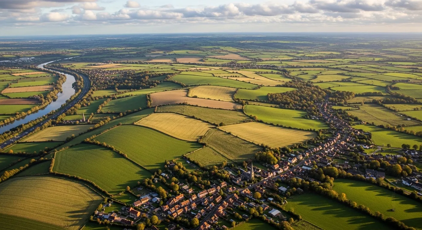
Full County Coverage
Every postcode sector across Bedfordshire is available. Target a single district or blanket the entire county.
Bespoke Pricing
Quick quotes built around your specific requirements by our UK-wide network of distributors - no hidden fees, no surprises.
The Smarter Way to Get Noticed
65% of Bedfordshire's 324,325 households are single family homes — a residential profile that makes door to door leaflet distribution in Bedfordshire particularly effective for businesses targeting household decision-makers directly. Across 18 districts and 77 postcode sectors, the county spans fast-growing commuter towns like Luton and Bedford alongside quieter suburban and rural areas that each respond differently. Marketize lets you plan at that level — real census-basedtargeting, postcode by postcode, with GPS tracked leaflet distribution that verifies every route completed.
For individuals, leaflet distribution Bedfordshire offers flexible, local distributor work across a compact but well-populated county. Consistent campaign demand, no fixed hours, and full transparency through the Marketize app. For businesses, targeted leaflet distribution here means your budget goes where the households are — not where it's easiest to deliver.
A 93.49% employment rate means the majority of Bedfordshire residents have regular disposable income, making flyer delivery Bedfordshire well-suited to trades, home services, and food businesses.With 82.23% holding some level of formal education, messaging can be benefit-led and specific — this is a consumer base that reads before it decides.
Household Composition
Census-derived household data for Bedfordshire. We have embedded this into our mapping software to allow you to understand your audience and make informed decision before planning distribution.
Single occupant dwellings — including young professionals, retirees, and solo renters.
Couples with or without children — the backbone of residential communities.
Shared houses, multi-generational homes, and other non-traditional living arrangements.
Employment & Education
Demographic insight on the working population and education levels across Bedfordshire.
Part-time or full-time, employee or self-employed — a high-value audience with regular disposable income.
Working-age residents currently without paid work, available and actively seeking employment.
Residents who have obtained any level of formal education — from school qualifications to higher education.
Residents with no formal qualifications — useful for tailoring message complexity and channel selection.
Leaflet Distribution Pricing in Bedfordshire
Pricing is tailored to your campaign — not a flat rate. Here's what shapes your quote.
Tailored to Your Campaign, Not a One-Size Price
Leaflet distribution pricing is flexible by design. Rather than a single fixed rate, costs are calculated based on a combination of factors unique to your campaign — so you only ever pay for exactly what your distribution requires.
Use our online platform to build your campaign, select your target postcode sectors within Bedfordshire, and receive an instant, transparent quote with no hidden charges.
Get a quote on our platform →Target Area & Reach
Costs vary based on how many households you reach and across which postcode sectors. A wider spread may affect per-unit rates.
Leaflet Size & Weight
The format, size, and weight of your printed material directly influences costs. Heavier or larger items carry a higher per-delivery rate.
Volume & Quantity
Larger print runs typically unlock lower per-unit costs. Bulk campaigns covering entire districts offer the best value.
Timing & Scheduling
Delivery windows and campaign urgency can influence the final price. Flexible scheduling helps keep costs down.
Districts, Sectors & Coverage
A full breakdown of every postcode district and sector within Bedfordshire, with the towns and localities each one covers.
Book Your Campaign in Bedfordshire
Select your postcode sectors, upload your leaflet, get an instant quote, and schedule your drop — all in minutes on our platform.
Related Counties We Cover
Browse a list of neighbouring counties in the region. Every area below is available for leaflet distribution.
- Babraham
- Balsham
- Burwell
- Cambridge
- Chatteris
- Ely
- Basildon
- Benfleet
- Billericay
- Bishop's Stortford
- Braintree
- Brentwood
- Abbots Langley
- Ascot Road
- Baldock
- Berkhamsted
- Borehamwood
- Breachwood Green
- Attleborough
- Cromer
- Dereham
- Diss
- Downham Market
- Fakenham
- Aldeburgh
- Beccles
- Brandon
- Bungay
- Bury Saint Edmunds
- Eye