Leaflet Distribution — South Yorkshire

Reach Every Door in South Yorkshire

Targeted leaflet distribution across every postcode sector in South Yorkshire — backed by real household data and transparent, campaign-specific pricing.

Leaflet Distribution South Yorkshire

Real Household Data

Census-backed statistics on household composition, employment, and education — so you can target with precision.

Full County Coverage

Every postcode sector across South Yorkshire is available. Target a single district or blanket the entire county.

Bespoke Pricing

Quick quotes built around your specific requirements by our UK-wide network of distributors - no hidden fees, no surprises.

Why South Yorkshire?

The Smarter Way to Get Noticed

53Districts
751,164Households
225+Postcode sectors

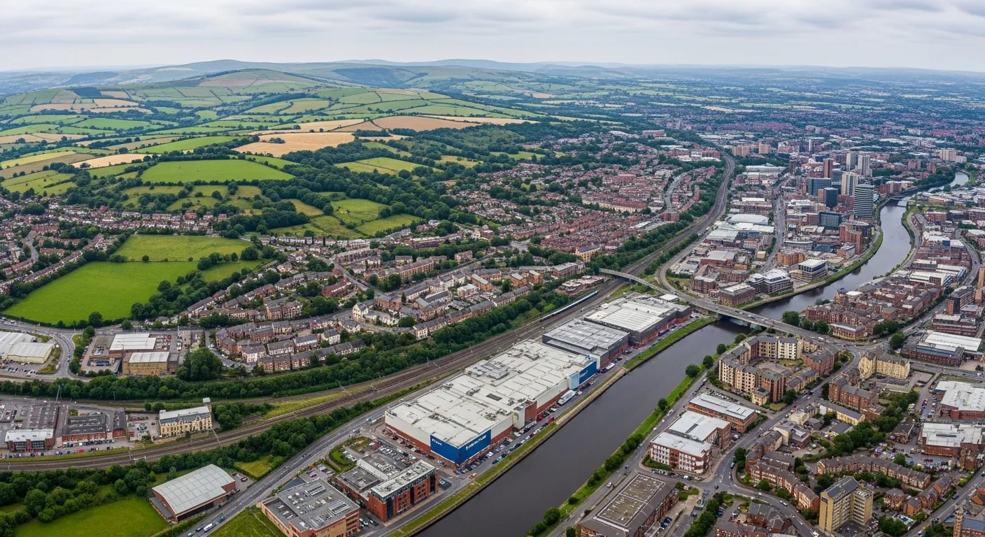
748,930 households across 46 districts and 215 postcode sectors - South Yorkshire is one of England's most substantial leaflet distribution counties, anchored by Sheffield and Doncaster but also taking in Rotherham's post-industrial residential communities and Barnsley's tightly packed terraced streets that each carry a distinct consumer character. Sheffield's student and professional postcodes behave very differently to the former mining communities of Mexborough or Wath-upon-Dearne. That variation is why leaflet distribution South Yorkshire works best when it plans at postcode level using real census data. Marketize provides exactly that, with GPS tracked leaflet distribution that verifies every route completed across the county's full residential spread.

For businesses, door to door leaflet distribution South Yorkshire through Marketize means tracked, evidenced delivery with no grey areas about what was covered. For individuals, 215 postcode sectors generating continuous campaign demand means flexible local distributor work available year-round. Targeted leaflet distribution here rewards consistency and genuine local knowledge.

With 21.77% of adults holding no formal qualifications and an 8.09% unemployment rate, flyer delivery South Yorkshire campaigns should lead with strong, offer-driven messaging and a clear call to action. A 91.91% employment rate across nearly 1.4 million residents confirms the spending power is there - plain-spoken, benefit-led copy will consistently outperform detailed messaging across most of the county.

Audience Data

Household Composition

Census-derived household data for South Yorkshire. We have embedded this into our mapping software to allow you to understand your audience and make informed decision before planning distribution.

Household Types
Household Type 01
238,353
31.73% of total households
One-Person Households

Single occupant dwellings — including young professionals, retirees, and solo renters.

Household Type 02
471,966
62.83% of total households
Single Family Households

Couples with or without children — the backbone of residential communities.

Household Type 03
40,845
5.44% of total households
Other Household Types

Shared houses, multi-generational homes, and other non-traditional living arrangements.

Workforce & Education

Employment & Education

Demographic insight on the working population and education levels across South Yorkshire.

Employment Status
Employment 01
595,069
91.91% of working-age residents
Employed

Part-time or full-time, employee or self-employed — a high-value audience with regular disposable income.

Employment 02
52,361
8.09% of working-age residents
Unemployed

Working-age residents currently without paid work, available and actively seeking employment.

Education Level
Education 01
1,136,869
78.22% of adult residents
Educated

Residents who have obtained any level of formal education — from school qualifications to higher education.

Education 02
316,530
21.78% of adult residents
No Formal Qualifications

Residents with no formal qualifications — useful for tailoring message complexity and channel selection.

Distribution Costs

Leaflet Distribution Pricing in South Yorkshire

Pricing is tailored to your campaign — not a flat rate. Here's what shapes your quote.

How it works

Tailored to Your Campaign, Not a One-Size Price

Leaflet distribution pricing is flexible by design. Rather than a single fixed rate, costs are calculated based on a combination of factors unique to your campaign — so you only ever pay for exactly what your distribution requires.

Use our online platform to build your campaign, select your target postcode sectors within South Yorkshire, and receive an instant, transparent quote with no hidden charges.

Get a quote on our platform →

📍

Target Area & Reach

Costs vary based on how many households you reach and across which postcode sectors. A wider spread may affect per-unit rates.

📄

Leaflet Size & Weight

The format, size, and weight of your printed material directly influences costs. Heavier or larger items carry a higher per-delivery rate.

📦

Volume & Quantity

Larger print runs typically unlock lower per-unit costs. Bulk campaigns covering entire districts offer the best value.

🗓

Timing & Scheduling

Delivery windows and campaign urgency can influence the final price. Flexible scheduling helps keep costs down.

Note: All prices provided by the platform are ballpark estimates. Use our distribution platform to configure your campaign and obtain exact pricing from your distribution partners before you commit - no obligation
Postcode Data

Districts, Sectors & Coverage

A full breakdown of every postcode district and sector within South Yorkshire, with the towns and localities each one covers.

Barnsley
DistrictCoverage
S70Town Centre, Birdwell, Kendray, Stairfoot, Worsborough
S71Ardsley, Athersley, Lundwood, Monk Bretton, Royston
S72Brierley, Cudworth, Grimethorpe, Shafton, South Hiendley
S73Darfield, Hemingfield, Wombwell
S74Elsecar, Hoyland, Jump
S75Barugh Green, Cawthorne, Darton, Dodworth, Gawber, Kexbrough, Mapplewell, Pogmoor, Staincross, Tankersley, Wilthorpe
Brightside Lane
DistrictCoverage
S99Sheffield
Bulk Users
DistrictCoverage
S49Mosborough - Sheffield
Doncaster
DistrictCoverage
DN1Doncaster city centre, Hyde Park
DN10Bawtry, Beckingham, Misson, Misterton, Scrooby
DN11Bircotes, Harworth, New Rossington, Rossington, Tickhill, Wadworth
DN12Conisbrough, Denaby Main, New Edlington, Old Denaby, Old Edlington
DN2Intake, Wheatley, Wheatley Hills
DN3Armthorpe, Barnby Dun, Branton, Edenthorpe, Kirk Sandall
DN4Balby, Belle Vue, Bessacarr, Cantley, Hexthorpe, Warmsworth
DN5Arksey, Barnburgh, Bentley, Cadeby, Cusworth, Harlington, High Melton, Scawsby, Scawthorpe, Sprotbrough, Sunnyfields, Toll Bar
DN6Adwick-le-Street, Askern, Campsall, Carcroft, Fenwick, Moss, Norton, Sutton, Walden Stubbs, Womersley, Woodlands
DN7Dunsville, Dunscroft, Fishlake, Hatfield, Hatfield Woodhouse, Lindholme, Stainforth
DN8Moorends, Sandtoft, Thorne
DN9Epworth, Finningley, Haxey, Auckley, Owston Ferry, Belton, Westwoodside, Wroot
Mexborough
DistrictCoverage
S64Adwick Upon Dearne, Kilnhurst, Mexborough, Swinton
Rotherham
DistrictCoverage
S60Town Centre, Brinsworth, Catcliffe, Canklow, Clifton, Masbrough, Treeton, Waverley, Whiston
S61Greasbrough, Kimberworth, Rockingham, Scholes, Thorpe Hesley
S62Abdy, Nether Haugh, Parkgate, Rawmarsh, Wentworth
S63Bolton-on-Dearne, Goldthorpe, Thurnscoe, Brampton Bierlow, Wath-on-Dearne, West Melton
S65Dalton, East Dene, Eastwood, Herringthorpe, Hooton Roberts, Ravenfield, Thrybergh
S66Braithwell, Bramley, Brampton-en-le-Morthen, Hellaby, Maltby, Micklebring, Morthen, Stainton, Stone, Thurcroft, Wickersley
Sheffield
DistrictCoverage
S1Sheffield City Centre
S10Broomhall, Broomhill, Crookes, Crookesmoor, Crosspool, Endcliffe, Fulwood, Lodge Moor, Ranmoor
S11Bents Green, Carter Knowle, Ecclesall, Greystones, Millhouses, Nether Edge, Parkhead, Ringinglow, Sharrow, Whirlow
S12Frecheville, Gleadless, Hackenthorpe, Intake, Ridgeway
S13Handsworth, Normanton Spring, Orgreave, Richmond, Woodhouse, Woodthorpe
S14Gleadless Valley
S17Bradway, Dore, Totley
S2Sheffield City Centre, Arbourthorne, Heeley, Highfield, Lowfield, Manor, Newfield Green, Norfolk Park, Park Hill, Wybourn
S20Beighton, Crystal Peaks, Halfway, Mosborough, Owlthorpe, Plumbley, Sothall, Waterthorpe, Westfield
S21Eckington, Killamarsh, Marsh Lane, Middle Handley, Renishaw, Spinkhill, Troway, West Handley
S25Anston, Brookhouse, Dinnington, Laughton en le Morthen, Slade Hooton
S26Aston, Aughton, Harthill, Kiveton Park, Swallownest, Todwick, Ulley, Wales, Waleswood, Woodall
S3Sheffield City Centre, Broomhall, Burngreave, Neepsend, Netherthorpe, Pitsmoor
S35Chapeltown, Crane Moor, Ecclesfield, Green Moor, Grenoside, Hermit Hill, High Green, Oughtibridge, Thurgoland, Wharncliffe Side, Wortley, Worrall
S36Bolsterstone, Carlecotes, Catshaw, Crow Edge, Deepcar, Dunford Bridge, Hoylandswaine, Ingbirchworth, Langsett, Midhopestones, Millhouse Green, Oxspring, Snowden Hill, Stocksbridge, Penistone, Thurlstone, Upper Midhope, Wigtwizzle
S4Brightside, Burngreave, Grimesthorpe, Osgathorpe, Page Hall, Pitsmoor
S5Ecclesfield, Firth Park, Fir Vale, Longley, Shirecliffe, Shiregreen, Southey, Parson Cross, Wincobank
S6Bradfield, Dungworth, Fox Hill, Hillsborough, Holdworth, Hollow Meadows, Loxley, Malin Bridge, Middlewood, Stannington, Storrs, Upperthorpe, Wadsley, Wadsley Bridge, Walkley, Wisewood
S7Beauchief, Carter Knowle, Millhouses, Nether Edge
S8Batemoor, Beauchief, Greenhill, Jordanthorpe, Lowedges, Meadowhead, Meersbrook, Norton, Norton Lees, Woodseats
S9Attercliffe, Brightside, Darnall, Handsworth Hill, Meadowhall, Tinsley, Wincobank
Ready to start?

Book Your Campaign in South Yorkshire

Select your postcode sectors, upload your leaflet, get an instant quote, and schedule your drop — all in minutes on our platform.

Related Counties We Cover

Browse a list of neighbouring counties in the region. Every area below is available for leaflet distribution.

East Riding of Yorkshire
9 towns
  • Beverley
  • Brough
  • Cottingham
  • Goole
  • Hessle
  • Hornsea
North Yorkshire
17 towns
  • Bridlington
  • Catterick Garrison
  • Driffield
  • Filey
  • Harrogate
  • Knaresborough
West Yorkshire
34 towns
  • Batley
  • Bingley
  • Bradford
  • Brighouse
  • Castleford
  • Cleckheaton